Search
(+)
cartoon
dealer
buy stock illustrations
Home
My rookie portfolio
📷 Upload yours 🤳
Find results that contain
all
of your keywords. Content filter is
on
. Search will return
stock photos and royalty free images
.
Exclude
Make it so!
You have chosen to exclude "
" from your results.
Choose orientation:
Explore cartoons & images using related keywords:
alaska
arctic
atlantic
atlas
barents
bering
canada
cartography
circle
coastline
cruise
destination
earth
geography
greenland
hemisphere
map
north
northern
ocean
pacific
polar
pole
political
region
russia
sea
strait
travel
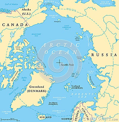
Arctic Ocean Map Vector Illustration
Download
Designed by
Peterhermesfurian
Title
Arctic Ocean Map #104769384
Description
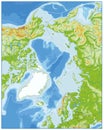
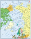
Arctic Ocean map with North Pole and Arctic Circle. Arctic region map with countries, national borders, rivers and lakes. Map without sea ice. English labeling and scaling.
Killer Whales In The Arctic Ocean
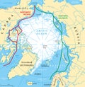
Arctic Ocean Sea Routes Map
Arctic Ocean Political Map. No text
Arctic Ocean Physical Map
Arctic Ocean Map
Arctic Ocean Physical Map. No text
Arctic Ocean Political Map and flat map pointers
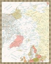
Arctic Ocean Political Map. Vintage colors
Arctic Ocean Political Map. No bathymetry
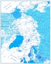
Arctic Ocean Map In Colors of Blue
Arctic Ocean Political Map. Retro colors
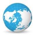
Earth globe with white world map and blue seas and oceans focused on Arctic Ocean and North Pole. With thin white
Vector illustration of beautiful arctic landscape of northern and Antarctic life. Icebergs in ocean and underwater world
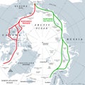
Arctic Ocean sea routes, Arctic shipping routes, gray political map