Search
(+)
cartoon
dealer
buy stock illustrations
Home
My rookie portfolio
📷 Upload yours 🤳
Find results that contain
all
of your keywords. Content filter is
on
. Search will return
best illustrations, stock vectors and clipart
.
Exclude
Make it so!
You have chosen to exclude "
" from your results.
Choose orientation:
Explore cartoons & images using related keywords:
administrative
area
atlas
cartography
city
coast
count
delfshaven
downtown
europe
geographical
geography
graphic
grid
harbor
highway
holland
illustration
location
map
meuse
netherlands
north
ocean
plan
planing
port
randstad
region
rhine
river
road
rotte
rotterdam
scale
scheldt
scheme
sea
south
street
topography
town
united
urban
urbanism
vector
waterfront
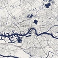
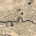
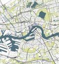
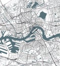
Map Of The City Of Rotterdam, In South Holland, Netherlands Stock Image
Download
Designed by
Tish63
Title
Map of the city of Rotterdam, in South Holland, Netherlands #112263883
Description
Vector map of the city of Rotterdam, in South Holland, Netherlands
Map of the city of Rotterdam, in South Holland, Netherlands
Coat of arms of the city of Rotterdam. Netherlands