Search
(+)
cartoon
dealer
buy stock illustrations
Home
My rookie portfolio
📷 Upload yours 🤳
Find results that contain
all
of your keywords. Content filter is
on
. Search will return
best illustrations, stock vectors and clipart
.
Exclude
Make it so!
You have chosen to exclude "
" from your results.
Choose orientation:
Explore cartoons & images using related keywords:
archipelago
art
asia
background
blue
border
borneo
brunei
business
cartography
china
controversial
country
design
east
geography
graphic
illustration
indonesia
international
island
islands
kalimantan
location
malaysia
map
ocean
palawan
people
peoples
philippines
political
reef
region
republic
sea
south
spratly
taiwan
vector
vietnam
white
world
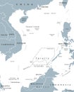
Spratly Islands Vector Map
Download
Designed by
Lesniewski
Title
Spratly islands vector map #114910314
Description
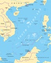
Map of the Malaysia, Philippines, Taiwan, Vietnam, People`s Republic of China and Brunei controversial Spratly Islands in the South China Sea
Malaysia map
Indonesia map
Indonesia physical map
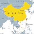
China, controlled and claimed regions, political map
Peoples Republic of China, PRC, gray political map
Flag of China in the country outline over white
South China Sea Islands, political map
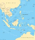
Southeast Asia, political map
Spratly Islands. All countries of the world. Infographics for presentation
Southeast Asia political map
South China Sea Islands political map
Physical map of the country of Spratly Islands colored
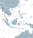
Southeast Asia countries, a geographical region of Asia, political map
Spratly Islands Spratly Is outline map
Spratly Islands Spratly Is silhouette map with transparent background