Search
(+)
cartoon
dealer
buy stock illustrations
Home
My rookie portfolio
📷 Upload yours 🤳
Find results that contain
all
of your keywords. Content filter is
on
. Search will return
best illustrations, stock vectors and clipart
.
Exclude
Make it so!
You have chosen to exclude "
" from your results.
Choose orientation:
Explore cartoons & images using related keywords:
atlas
background
border
boundary
capital
cartography
city
country
east
egypt
english
gaza
geography
governing
gray
illustration
israel
jabalia
khan
labeling
land
map
mapping
mediterranean
middle
nation
palestine
palestinian
political
rafah
sea
self
sinai
state
strip
territory
vector
white
yunis
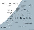
Gaza Strip Political Map Gray Cartoon Vector
Download
Designed by
Peterhermesfurian
Title
Gaza Strip political map gray #116821807
Description
Gaza Strip political map. Self governing Palestinian territory on coast of Mediterranean Sea. Borders to Israel and Egypt. Claimed by State of Palestine. English labeling. Gray illustration. Vector.
Map of the Gaza Strip and the city
Map of Israel, invasion of the Gaza Strip
Gaza Strip map
Gaza strip world map woth a pixel diamond texture.
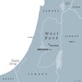
West Bank and Gaza Strip political map
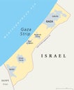
Gaza Strip political map
Satellite view of the Gaza Strip. Map, streets of the area
Israeli air raid on the Gaza Strip, Palestine. Gaza city.Explosions caused by missiles of buildings and homes.
Gaza Strip map. Detailed map of Gaza Strip administrative area, land panorama
Part of the Southern District of Israel, political map, with the Gaza Strip
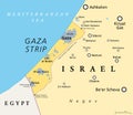
The Gaza Strip and surroundings, a Palestinian territory, political map
Gaza Strip and surroundings, Palestinian territory, gray political map