Find results that contain all of your keywords. Content filter is on.
Search will return stock photos and royalty free images.
Choose orientation:
Make it so!
You have chosen to exclude "" from your results.
Choose orientation:
Explore cartoons & images using related keywords:
abstract
archipelago
atlas
background
banner
border
borders
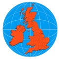
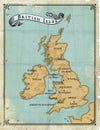
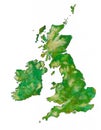
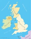
britain british cartography concept continent continental contour country design england europe european frontier geography great icon illustration infographic infographics ireland island isles isometric land map national outline patriotic patriotism perspective plastic scotland sign silhouette state symbol topography tourism travel vector wales wallpaper world3D Map Of British Isles Royalty-Free Cartoon
Designed by
Title
3D map of British Isles #120721007
Description


