Search
(+)
cartoon
dealer
buy stock illustrations
Home
My rookie portfolio
📷 Upload yours 🤳
Find results that contain
all
of your keywords. Content filter is
on
. Search will return
best illustrations, stock vectors and clipart
.
Exclude
Make it so!
You have chosen to exclude "
" from your results.
Choose orientation:
Explore cartoons & images using related keywords:
above
ashram
aurobindo
back
bara
beautiful
beauty
below
boats
branches
camels
cheena
clouds
covered
covering
darshan
deodar
end
ferns
flats
hill
hills
himalaya
how
incredible
india
just
kaladhungi
lake
lands
lapse
looking
mallital
monsoon
monsoons
mountains
movement
nainital
outside
over
para
patthar
peak
rains
road
showing
sunset
tallital
time
timelapse
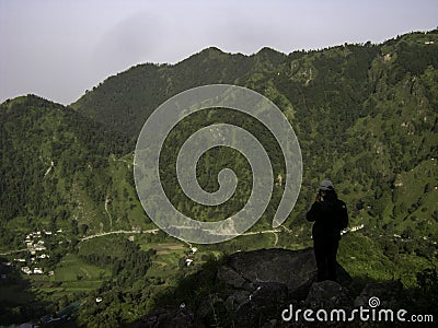
View From The Road Below Aurobindo Ashram At Nainital Editorial Image
Download
Designed by
Rohanbhattphotography
Title
View from the road below Aurobindo Ashram at Nainital #127133884
Description
View of the opposite hills above Narayan Nagar from the road below Aurobindo Ashram at Nainital.
This image is editorial
Cloud exploration driving view road cars
Aerial view Road roundabout with car lots in Thailand.street large beautiful downtown at night.cityscape.
New York City street road in Manhattan at summer time. Urban big city life concept background
Tourists in Suzuki Vitara car went on a trip to the snow-capped mountains.
Aerial view, Road roundabout, Expressway with car lots in the ci
Autumn View road
View Road of Borobudur indonesia
Children\'s Hospital of Georgia Distant view road and buildings
photography view Road in Hong Kong Tseun wan city
Uppsala cityscape view. Road leading to gas station.
Chisinau, Moldova - September 19, 2024: City street view, road, cars and heavy traffic, urban architecture at night
Expressway top view, Road traffic an important infrastructure, Drone aerial view fly in circle, traffic transportation, Public