Search
(+)
cartoon
dealer
buy stock illustrations
Home
My rookie portfolio
📷 Upload yours 🤳
Find results that contain
all
of your keywords. Content filter is
on
. Search will return
stock photos and royalty free images
.
Exclude
Make it so!
You have chosen to exclude "
" from your results.
Choose orientation:
Explore cartoons & images using related keywords:
border
budapest
counties
country
county
europe
european
gray
hungary
map
relief
topography
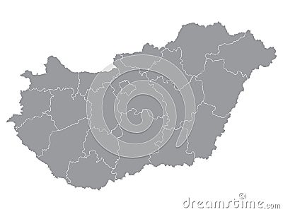
Counties Map Of Hungary Vector Illustration
Download
Designed by
Momcilojovanov
Title
Counties Map of Hungary #178820656
Description
Gray Counties Map of European Country of Hungary
Hungary watercolor map vector illustration of green color with border lines of different divisions or counties on light background
Hungary watercolor map vector illustration of blue color with border lines of different divisions or counties on light background
Hungary watercolor map vector illustration of black color with border lines of different divisions or counties on light background
Municipality of Budapest Hungary, Hungarian counties map vector illustration, scribble sketch Budapest map
Csongrad County Hungary, Hungarian counties map vector illustration, scribble sketch Csongrád map
Nograd County Hungary, Hungarian counties map vector illustration, scribble sketch Nógrád map
Fejer County Hungary, Hungarian counties map vector illustration, scribble sketch Fejér map
Szabolcs-Szatmar-Bereg County Hungary, Hungarian counties map vector illustration, scribble sketch Szabolcs-Szatmár-Bereg
Counties Map of Hungary
Vector map of districts of Hungary colored by counties with neighbouring countries and territories
Set Flags of the counties of Hungary