Search
(+)
cartoon
dealer
buy stock illustrations
Home
My rookie portfolio
📷 Upload yours 🤳
Find results that contain
all
of your keywords. Content filter is
on
. Search will return
best illustrations, stock vectors and clipart
.
Exclude
Make it so!
You have chosen to exclude "
" from your results.
Choose orientation:
Explore cartoons & images using related keywords:
agreement
apennine
area
asia
association
background
baltoscandia
black
blank
blue
brussels
bsec
cefta
cei
central
coe
colored
continent
cooperation
council
countries
customs
detailed
development
eaeu
eap
eastern
economic
economy
eea
efta
eucu
eurasian
europe
european
eurozone
fennoscandian
flat
france
free
geographical
germany
green
grey
group
iberian
industry
initiative
italy
lakes
Map Of The British Isles Cartoon Vector
Download
Designed by
Momcilojovanov
Title
Map of the British Isles #183965625
Description
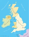
Detailed Grey Flat Geographical Map of the British Isles the United Kingdom, the Isle of Man, the Republic of Ireland
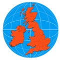
British Isles and Eire map
Map of the British Isles
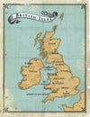
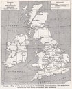
Age-old map British Isles
Outline map of great britain
Map of the British Isles grunge
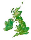
The British Isles with clipping path
British Isles countries silhouettes map
British Isles map gray radial dot pattern
British Isles map vector
British Isles Map
Point - Dotted United Kingdom - UK Map
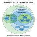
Subdivisions of the British Isles, Ireland and the UK, Euler diagram
Vector map of United Kingdom, UK, Great Britain, Britain, British Isles map in german
Vector map of United Kingdom, UK, Great Britain, Britain, British Isles map in english
Vector map of United Kingdom, UK, Great Britain, Britain, British Isles map in french
Vector map of United Kingdom, UK, Great Britain, Britain, British Isles map in spanish