Find results that contain all of your keywords. Content filter is on.
Search will return best illustrations, stock vectors and clipart.
Choose orientation:
Make it so!
You have chosen to exclude "" from your results.
Choose orientation:
Explore cartoons & images using related keywords:
alberta
outline
map
canada
province
region
2015
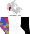
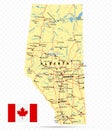
administrative alternative area border cartography chart city composition concept contour country county creative cut design designed district division eps federal federation geographical geography graphic illustration image isolated making mapping modernity nation national ottawa shape silhouette simple state symbol texture trip vector white worldAlberta Outline Map Canada Province Region Vector Illustration
Designed by
Title
Alberta outline map Canada province region #185145750
Description


