Search
(+)
cartoon
dealer
buy stock illustrations
Home
Black Friday
Find results that contain
all
of your keywords. Content filter is
on
. Search will return
best illustrations, stock vectors and clipart
.
Exclude
Make it so!
You have chosen to exclude "
" from your results.
Choose orientation:
Explore cartoons & images using related keywords:
cartography
region
atlas
central
gray
politics
background
country
administrative
state
symbol
white
national
travel
europe
topography
geography
mecklenburgvorpommern
district
berlin
vector
bavaria
bremen
thuringia
illustration
land
subdivision
world
city
isolated
saarland
map
border
germany
republic
saxonyanhalt
european
regions
brandenburg
nation
contour
eu
stuttgart
union
hamburg
dark
german
rhinelandpalatinate
north
Germany Regions Map Stock Photography
Download
Designed by
Photoimgvect
Title
Germany regions map #185816138
Description
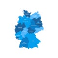
The isolated Germany regions map with labels
Germany map infographics vector template with regions and pointer marks
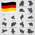
Sixteen Maps German lands - alphabetical order with name. Every single map of state are listed and isolated with wordings and titl
Germany regions maps
Germany Regions Map
Germany Regions Map
Germany Regions Map
Germany Regions Map
Vector map of regions of Germany
Germany regions icons.
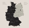
Black map of Germany map divided on West and East Germany with names of regions, design blackboard
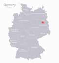
Map of Germany, regions and capital city with names, gray on a white background
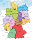
Vector illustrated map of Germany with federated states or regions and administrative divisions, and neighbouring countries.
Germany Regions Map with Editable Outline Illustration