Search
(+)
cartoon
dealer
buy stock illustrations
Home
My rookie portfolio
📷 Upload yours 🤳
Find results that contain
all
of your keywords. Content filter is
on
. Search will return
best illustrations, stock vectors and clipart
.
Exclude
Make it so!
You have chosen to exclude "
" from your results.
Choose orientation:
Explore cartoons & images using related keywords:
region
atlas
montevideo
gray
art
background
colorful
country
administrative
colors
spanish
white
abstract
location
state
american
boundary
geography
detail
south
district
detailed
uruguay
vector
design
black
area
uruguayan
america
land
illustration
surface
city
cut
business
map
border
province
graphic
concept
clipping
chart
nation
contour
dark
division
cartography
outline
Uruguay Regions Map Royalty-Free Stock Image
Download
Designed by
Photoimgvect
Title
Uruguay regions map #188539786
Description
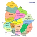
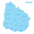
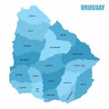
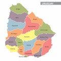
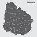
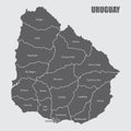
The Uruguay map divided into regions with labels
Detailed map of Uruguay with regions
Uruguay map infographics vector template with regions and pointer marks
Uruguay regions map
Uruguay map outline administrative regions vector template for infographic design. Administrative borders
Uruguay regions map
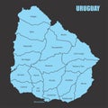
Uruguay regions map
Uruguay regions map
Uruguay regions map
Uruguay regions map
Uruguay regions map
Uruguay regions map
Uruguay regions icons.
High Quality map of Montevideo is a capital of Uruguay, with borders of the regions. Map of Montevideo for your web site design, a
Set of isolated Uruguay maps with regions. Isolated borders, departments, municipalities