Search
(+)
cartoon
dealer
buy stock illustrations
Home
My rookie portfolio
📷 Upload yours 🤳
Find results that contain
all
of your keywords. Content filter is
on
. Search will return
best illustrations, stock vectors and clipart
.
Exclude
Make it so!
You have chosen to exclude "
" from your results.
Choose orientation:
Explore cartoons & images using related keywords:
administrative
aegean
albania
area
asia
athens
athos
atlas
attica
background
border
bulgaria
cartography
central
city
concept
continent
countries
country
crete
district
division
epirus
europe
geography
greece
illustration
ionian
island
land
macedonia
map
marmara
mediterranean
mount
national
neighbouring
north
peloponnese
political
province
provinces
region
regions
sea
silhouette
south
state
territories
territory
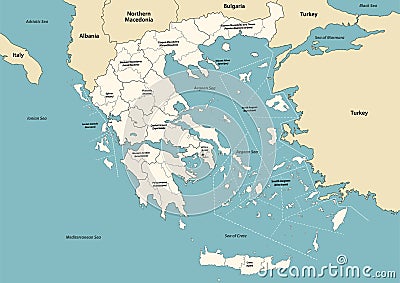
Greece Provinces And Regions Vector Map With Neighbouring Countries And Territories
Download
Designed by
Jktu21
Title
Greece provinces and regions vector map with neighbouring countries and territories #204014707
Description
Greece provinces and regions vector map with neighbouring countries and territories.
Map Of Greece
Modern Map - Thessalia Greece GR
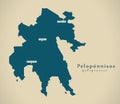
Modern Map - Peloponnisos Greece GR
Greece map - cdr format
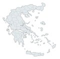
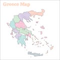
Greece hand-drawn map.
Greece watercolor map vector illustration of green color with border lines of different regions or provinces on light background
Greece watercolor map vector illustration of blue color with border lines of different regions or provinces on light background
Greece watercolor map vector illustration of black color with border lines of different regions or provinces on light background
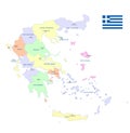
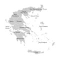
Vector isolated illustration of simplified administrative map of Greece. Borders and names of the provinces
Relief Map of Greece
Greece map in 3D. 3d map with borders of regions.
Vector map of Greece provinces colored by regions with neighbouring countries and territories
Map of Europe divided into states and provinces. European political map
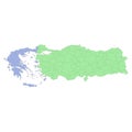
High quality political map of Greece and Turkey with borders of the regions or provinces