Find results that contain all of your keywords. Content filter is on.
Search will return best illustrations, stock vectors and clipart.
Choose orientation:
Make it so!
You have chosen to exclude "" from your results.
Choose orientation:
Explore cartoons & images using related keywords:
1900s
1940sncarmarthenshire
administrative
agricultural
ammanford
authority
carmarthen
carmarthenshire centren counties county district encyclopedia harmsworths historic largest llanelli mainly map one rich southwest three town towns unitary universal vintage walesVintage Map Of Carmarthenshire 1900s. Editorial Image
Designed by
Title
Vintage map of Carmarthenshire 1900s. #210243672
Description
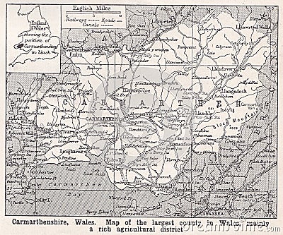
Harmsworth`s Universal Encyclopedia 1940s.Carmarthenshire, Wales: Map of the largest county in Wales, mainly a rich agricultural district. Carmarthenshire is a unitary authority in southwest Wales, and one of the historic counties of Wales. The three largest towns are Llanelli, Carmarthen and Ammanford. Carmarthen is the county town and administrative centre.
This image is editorial

