Find results that contain all of your keywords. Content filter is on.
Search will return best illustrations, stock vectors and clipart.
Choose orientation:
Make it so!
You have chosen to exclude "" from your results.
Choose orientation:
Explore cartoons & images using related keywords:
1940s
all
areas
biking
british
campgrounds
canada
canadas climate coastline columbia defined dominion encyclopedia experiences features glacier harmworths hiking its map mountain national natural nature nbritish offer pacific park province ranges reproduces trails universal varied vintage well westernmost which whole wonderlandVintage Map Of British Columbia. Editorial Photo
Designed by
Title
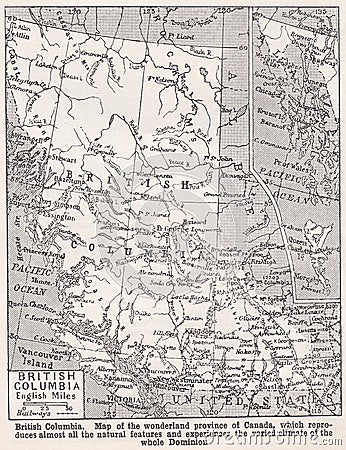
Vintage map of British Columbia. #211162435
Description
Harmworth`s Universal Encyclopedia 1940s. British Columbia: Map of the wonderland province of Canada, which reproduces almost all the natural features and experiences the varied climate of the whole Dominion. British Columbia, Canada`s westernmost province, is defined by its Pacific coastline and mountain ranges. Nature areas like Glacier National Park offer hiking and biking trails, as well as campgrounds.
This image is editorial


