Search
(+)
cartoon
dealer
buy stock illustrations
Home
My rookie portfolio
📷 Upload yours 🤳
Find results that contain
all
of your keywords. Content filter is
on
. Search will return
best illustrations, stock vectors and clipart
.
Exclude
Make it so!
You have chosen to exclude "
" from your results.
Choose orientation:
Explore cartoons & images using related keywords:
administrative
area
boroughs
cartography
county
department
detailed
district
division
famous
france
french
geography
government
graphic
greater
guide
illustration
map
mapping
outline
overview
plan
political
prefecture
province
region
review
state
sub
texture
tourism
tower
town
travel
united
vector
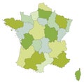
Political Map Of France With Borders With Borders Of Regions Vector Illustration
Download
Designed by
Grebeshkovmaxim
Title
Political map of France with borders with borders of regions #242522448
Description
Political map of France with borders with borders of regions and countries
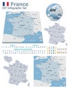
France maps with markers
Administrative and political vector map of the occitanie region, france
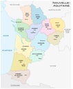
Administrative and political vector map of the region Nouvelle-Aquitaine, France
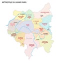
Metropolis of Greater Paris administrative and political vector map, france
Administrative and political vector map of Vallee Sud Grand Paris, Greater Paris, France
Administrative and political vector map of Grand Orly Seine Bievre, Greater Paris, France
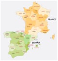
Administrative and political map of spain and france in the resp
Isolated dotted political map of France
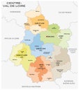
Administrative and political map of the region Centre Val de Loire france
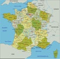
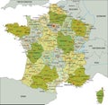
Highly detailed editable political map with separated layers. France.
Blue colored political maps of France isolated on white background
Vector political maps of France with regions on white background