Search
(+)
cartoon
dealer
buy stock illustrations
Home
My rookie portfolio
📷 Upload yours 🤳
Find results that contain
all
of your keywords. Content filter is
on
. Search will return
best illustrations, stock vectors and clipart
.
Exclude
Make it so!
You have chosen to exclude "
" from your results.
Choose orientation:
Explore cartoons & images using related keywords:
administrative
area
boroughs
cartography
county
department
detailed
district
division
famous
geography
german
germany
government
graphic
greater
guide
illustration
map
mapping
outline
overview
plan
political
prefecture
province
region
review
state
sub
texture
tourism
tower
town
travel
united
vector
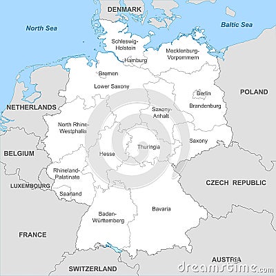
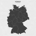
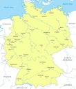
Political Map Of Germany With Borders With Borders Of Regions Vector Illustration
Download
Designed by
Grebeshkovmaxim
Title
Political map of Germany with borders with borders of regions #242522476
Description
Political map of Germany with borders with borders of regions and countries
Federal Republic of Germany maps with markers
Germany Political Map
Isolated dotted political map of Germany
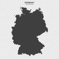
Political map of Germany isolated on white background
Political map of Germany isolated on transparent background
Political map of Germany isolated on white background
Political map of Germany isolated on transparent background
Mobile Phone Tracking political theme in Germany
Blue colored political maps of Gambia isolated on white backgroundblue colored political maps of Germany isolated on white backgro
Illustration indicating the political conflict between UK-Italy-Germany
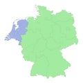
High quality political map of Germany and Netherlands with borders of the regions or provinces.
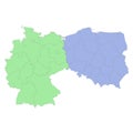
High quality political map of Germany and Poland with borders of the regions or provinces
Political map of Germany with national borders
Detailed political map of Germany divided by states. Clear borders delineate regions. Highlights administrative divisions.