Find results that contain all of your keywords. Content filter is on.
Search will return best illustrations, stock vectors and clipart.
Choose orientation:
Make it so!
You have chosen to exclude "" from your results.
Choose orientation:
Explore cartoons & images using related keywords:
africa
annobon
antarctic
antarctica
archipelago
ascension
atlantic
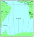
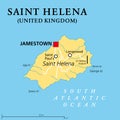
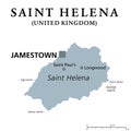
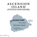
atlas background bouvet brazil british cape cartography continent country crown cunha exile falkland geography georgia gough gray helena illustration infographic island islands isolated kingdom map mapping napoleon ocean overseas political principe region saint sandwich sao south territory tome travel tristan united vector verdeSouth Atlantic Islands, Gray Political Map Vector Illustration
Designed by
Title
South Atlantic Islands, gray political map #246617156
Description


