Search
(+)
cartoon
dealer
buy stock illustrations
Home
My rookie portfolio
📷 Upload yours 🤳
Find results that contain
all
of your keywords. Content filter is
on
. Search will return
stock photos and royalty free images
.
Exclude
Make it so!
You have chosen to exclude "
" from your results.
Choose orientation:
Explore cartoons & images using related keywords:
area
blue
border
capital
cartography
city
concept
continent
country
design
detailed
district
element
europe
flag
flat
geography
globe
graphic
icon
illustration
information
isolated
land
lithuania
map
national
navigation
new
pointer
political
region
regions
sign
silhouette
state
symbol
template
tourism
travel
vector
vilnius
world
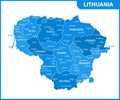
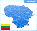
Detailed Map Of Lithuania And Regoins Vector Illustration
Download
Designed by
Cartarium
Title
Detailed map of Lithuania and regoins #254778688
Description
Detailed map of Lithuania and regoins with navigation set and elements. Vector illustration
The detailed map of Lithuania with regions or states and cities, capital. Administrative division
Abstract rounded World Map with pinned detailed Lithuania map.
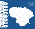
Flat high detailed Lithuania map. Divided into editable contours of administrative divisions. Vacation and travel icons.
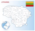
Detailed Lithuania administrative map with country flag and location on a blue globe.
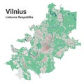
Vilnius city map, detailed administrative borders metropolitan map, Lithuania. River Neris, roads and railway, buildings and parks
Detailed Lithuania Silhouette map.
Detailed Lithuania physical map.
Detailed Lithuania physical map with labeling.
Detailed Lithuania physical map.
Detailed Lithuania road map with labeling.
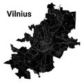
Vilnius city map, detailed administrative borders municipal black and white map, Lithuania. River Neris and Vilnia, roads and