Search
(+)
cartoon
dealer
buy stock illustrations
Home
My rookie portfolio
📷 Upload yours 🤳
Find results that contain
all
of your keywords. Content filter is
on
. Search will return
best illustrations, stock vectors and clipart
.
Exclude
Make it so!
You have chosen to exclude "
" from your results.
Choose orientation:
Explore cartoons & images using related keywords:
administrative
area
background
bjelovarbilogova
border
brodposavina
country
county
croatia
dalmatia
design
district
division
dubrovnik
europe
flag
geography
istria
karlovac
koprivnica
krapinazagorje
lika
senj
map
medimurje
municipality
neretva
osijek
primorje
region
silhouette
sisakmoslavina
split
state
travel
varazdin
vector
virovitica
vukavarsyrmia
world
zadar
zagreb
3d
borders
city
education
isometric
territory
tourism
trip
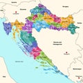
Croatia Administrative Districts 3d (isometric) Vector Map Colored By Regions With Neighbouring Countries
Download
Designed by
Jktu21
Title
Croatia administrative districts 3d (isometric) vector map colored by regions with neighbouring countries #273049693
Description
Croatia administrative districts 3d (isometric) vector map colored by regions with neighbouring countries. Vector illustration
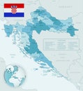
Blue-green detailed map of Croatia administrative divisions with country flag and location on the globe
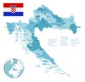
Croatia administrative blue-green map with country flag and location on a globe
Blue-gray detailed map of Croatia administrative divisions and location on the globe.
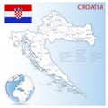
Detailed map of Croatia administrative divisions with country flag and location on the globe.
Map of Croatia administrative regions departments, icons. Map location pin, arrow, man, bicycle, car, airplane
Croatia administrative map
Blue map of Croatia administrative divisions with travel infographic icons.
Croatia - administrative map of counties
Croatia administrative divisions detailed vector isolated colorful map
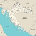
Croatia administrative divisions detailed vector map with neighbouring countries and territories
Croatia administrative divisions detailed vector map