Find results that contain all of your keywords. Content filter is on.
Search will return best illustrations, stock vectors and clipart.
Choose orientation:
Make it so!
You have chosen to exclude "" from your results.
Choose orientation:
Explore cartoons & images using related keywords:
english
channel
british
islands
map
strait
dover
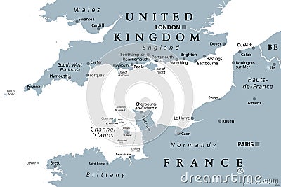
manche england france europe atlantic north sea united kingdom uk shipping transportation maritime connection passage waterway canal international navigation area continent guernsey jersey london paris isles brittany normandy dunkirk calais havre plymouth southampton brighton country gray political mapping atlasEnglish Channel, Gray Political Map, Busiest Shipping Area In The World Vector Illustration
Designed by
Title
English Channel, gray political map, busiest shipping area in the world #
Description

