Search
(+)
cartoon
dealer
buy stock illustrations
Home
My rookie portfolio
📷 Upload yours 🤳
Find results that contain
all
of your keywords. Content filter is
on
. Search will return
stock photos and royalty free images
.
Exclude
Make it so!
You have chosen to exclude "
" from your results.
Choose orientation:
Explore cartoons & images using related keywords:
earth
map
continent
geography
global
globe
illustration
oval
rounded
round
egg
graphic
planet
vector
atlas
cartography
land
travel
world
business
isolated
shape
sphere
model
worldwide
aitoff
projection
circle
layout
grid
infographics
equal
meridian
latitude
longitude
africa
europe
asia
america
australia
antarctica
ocean
oceania
contour
silhouette
line
black
white
outline
net
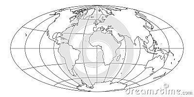
Simplified Map Of World With Latitude And Longitude Grid Vector Illustration
Download
Designed by
Pytyczech
Title
Simplified Map of World with latitude and longitude grid #292767826
Description
Simplified Map of World with latitude and longitude grid. Aitoff projection. White land with black stroke. Vector illustration.
Simplified world map divided to six continents in different colors. Simple flat vector illustration.
Simplified world map divided to six continents in different colors.
Simplified world map divided to six continents in different colors. Simple flat vector illustration.
World map continents
Abstract simplified world map 3d rendering
Abstract simplified world map made of hexagons
Simplified world map vector illustration
Simplified world map drawn with sharp straight lines
Simplified world map drawn with sharp straight lines different colors for each continent
Simplified world map drawn with round dots. Vector illustration