Find results that contain all of your keywords. Content filter is on.
Search will return best illustrations, stock vectors and clipart.
Choose orientation:
Make it so!
You have chosen to exclude "" from your results.
Choose orientation:
Explore cartoons & images using related keywords:
activity
building
cadastral
cadastre
cartographer
cartographic
cartography
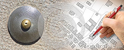
city concept concepts crossroad district geography global gps graphic ideas imaginary instrument land landmark level map marks measure measurement measuring palace plan planning point positioning reference register relief residential road street surface survey surveyor system terrain territory theodolite topographic topography town urbanImaginary Cadastral Map Of Territory With Relief Map And Landmark GPS Global Positioning System Metal Survey Point Royalty-Free Stock Photo
Designed by
Title
Imaginary cadastral map of territory with relief map and landmark GPS Global Positioning System metal survey point #303012381
Description


