Search
(+)
cartoon
dealer
buy stock illustrations
Home
My rookie portfolio
📷 Upload yours 🤳
Find results that contain
all
of your keywords. Content filter is
on
. Search will return
best illustrations, stock vectors and clipart
.
Exclude
Make it so!
You have chosen to exclude "
" from your results.
Choose orientation:
Explore cartoons & images using related keywords:
map
uk
british
britain
3d
shape
border
regions
white
europe
isolated
flat
geography
background
icon
illustration
painting
shadow
cartography
physical
threedimensional
republic
accuracy
clipping
province
extruded
digitally
symbol
scene
simplicity
generated
germanian
image
nation
national
object
3d United Kingdom White Map With Regions Isolated Cartoon Vector
Download
Designed by
Grebeshkovmaxim
Title
3d United Kingdom white map with regions isolated #309635965
Description
3d United Kingdom white map with regions isolated on white background
Flag of United Kingdom
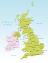
United Kingdom vector map
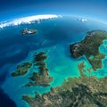
Detailed Earth. United Kingdom and the North Sea
UK United Kingdom map with flag
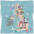
United Kingdom travel map
Ireland and United Kingdom political map
United Kingdom countries and Ireland political map
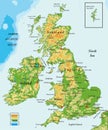
United Kingdom and Ireland-physical map
United Kingdom physical map
United Kingdom flag
United Kingdom Travel Map. Vector Illustration.
United Kingdom and regions of England
United Kingdom map. England, Scotland, Wales, Northern Ireland. Vector Great Britain map wit UK flag isolated on white background.
Hand drawn map of the United Kingdom including England, Wales, Scotland and Northern Ireland and their capital cities
Royal Coat of Arms of the United Kingdom