Find results that contain all of your keywords. Content filter is on.
Search will return best illustrations, stock vectors and clipart.
Choose orientation:
Make it so!
You have chosen to exclude "" from your results.
Choose orientation:
Explore cartoons & images using related keywords:
analyzing
data
collected
drones
farmers
precisely
map
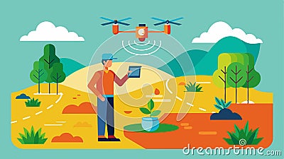
zones field target variable rate applications water fertilizer pesticides agriculture analysis mapping zone concept robotic tech modern agritech digital iot automation monitoring agribots futuristic app application harvesting innovations ai generatedBy Analyzing Data Collected By Drones Farmers Can Precisely Map Out Different Zones Within A Field To Target Variable Vector Illustration
Designed by
Title
By analyzing data collected by drones farmers can precisely map out different zones within a field to target variable #320539286
Description


