Find results that contain all of your keywords. Content filter is on.
Search will return best illustrations, stock vectors and clipart.
Choose orientation:
Make it so!
You have chosen to exclude "" from your results.
Choose orientation:
Explore cartoons & images using related keywords:
drone
marker
map
positioning
location
survey
land
plot located mapping software digital view gps field space site boundary block registration property real estate area residential construction development housing sale investment system future modern measurement surveyor technology sell business purchase pin position management project point guide aerialDrone Gps Positioning System, Aerial View Land Plot. Site Survey For Property Location, Drone Mapping Measurement Area Technology Royalty-Free Stock Image
Designed by
Title
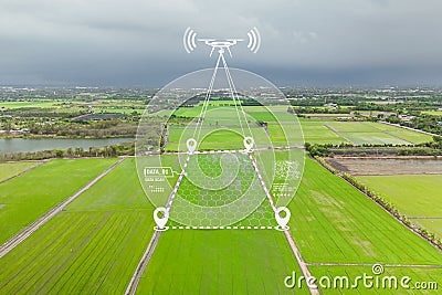
Drone Gps positioning system, Aerial view land plot. Site survey for property location, Drone mapping measurement area technology #323085724
Description


