Search
(+)
cartoon
dealer
buy stock illustrations
Home
My rookie portfolio
📷 Upload yours 🤳
Find results that contain
all
of your keywords. Content filter is
on
. Search will return
best illustrations, stock vectors and clipart
.
Exclude
Make it so!
You have chosen to exclude "
" from your results.
Choose orientation:
Explore cartoons & images using related keywords:
adriatic
atlas
background
balkan
balkans
border
borders
bosnia
brod
cartography
chart
continent
country
croatia
croatian
design
digital
dubrovnik
earth
europe
european
federation
geo
geographical
global
herzegovina
hrvatska
hungary
hvar
illustration
independence
island
islands
italy
karlovac
kornati
lake
makarska
map
military
mljet
montenegro
mountain
mountains
nation
nations
outline
plain
planet
political
Croatia Map Royalty-Free Stock Photography
Download
Designed by
Cugianza84
Title
Croatia map #32974535
Description
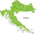
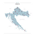
Illustration of the map of Croatia. Featuring rivers, the highest peak of the state, Plitvice National Park and main cities and islands.
Croatia map
Vector map of croatia
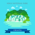
KRKA National Park Croatia flat vector attraction sight landmark
Croatia political map
Croatia map silhouette. EU country. Europe country.
Croatia map vector with red pin
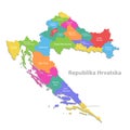
Croatia map, new political detailed map, separate individual regions, with state names, isolated on white background 3D
Split skyline Croatia vector illustration a linear
Split skyline Croatia hand drawn vector sketch
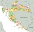
Croatia - Highly detailed editable political map with labeling.
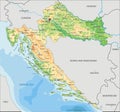
High detailed Croatia physical map with labeling.
Split, Croatia Black and White high resolution vector map
Orange led banner in word croatia on black background
Croatia Map. Croatian Country Map. Black and White National Outline Geography Border Boundary Shape Territory EPS Vector Illustrat
Silhouette Skyline panorama of City of Split, Croatia