Search
(+)
cartoon
dealer
buy stock illustrations
Home
Black Friday
Find results that contain
all
of your keywords. Content filter is
on
. Search will return
best illustrations, stock vectors and clipart
.
Exclude
Make it so!
You have chosen to exclude "
" from your results.
Choose orientation:
Explore cartoons & images using related keywords:
land
map
vector
travel
eritrea
africa
cartography
flag
outline
national
tourism
gray
color
horn
administrative
african
atlas
border
clip
concepts
contour
cut
earth
education
geography
government
graphic
icon
set
label
nation
people
political
politics
separation
silhouette
state
unity
vertical
weather
world
geographical
magnifying
glass
planet
simple
surface
art
blackandwhite
business
Eritrea Region Map Vector Illustration
Download
Designed by
Kherudinakhmad
Title
Eritrea region map #338071644
Description
Eritrea region map vector illustration symbol design
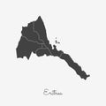
Eritrea region map: grey outline on white.
Eritrea region map: colorful with white outline.
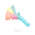
Eritrea region map: colorful isometric top view.
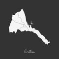
Eritrea region map: white outline on grey.
Eritrea region map: retro style brown outline on.
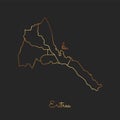
Eritrea region map: golden gradient outline on.
Eritrea region map: blue with white outline and.
Asmara City State of Eritrea, Central or Maakel Region map vector illustration, scribble sketch City of Asmera map
Abstract futuristic map of eritrea.Circuit Board Design Electric of the region. Technology background. mash line and point scales