Search
(+)
cartoon
dealer
buy stock illustrations
Home
My rookie portfolio
📷 Upload yours 🤳
Find results that contain
all
of your keywords. Content filter is
on
. Search will return
best illustrations, stock vectors and clipart
.
Exclude
Make it so!
You have chosen to exclude "
" from your results.
Choose orientation:
Explore cartoons & images using related keywords:
lidar
3d
model
mountain
terrain
elevation
colorcoded
topography
landscape
geological
scan
isolated
height
analysis
geospatial
relief
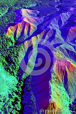
Isolated 3D LiDAR Scan Model Displaying A Mountainous Terrain With Elevation Levels Color-coded For Easy Analysis. Stock Photography
Download
Designed by
Gatchenkoandriy
Title
Isolated 3D LiDAR scan model displaying a mountainous terrain with elevation levels color-coded for easy analysis. #351048914
Description
Isolated 3D LiDAR scan model displaying a mountainous terrain with elevation levels color-coded for easy analysis. Generative AI
Autonomous forklift carrying pallet of goods isolated on white background
Lidar scanner icon symbol vector
LIDAR, light detection and ranging. Concept with keyword, people and icons. Flat vector illustration. Isolated on white.
road lidar viewfinder line icon vector illustration
Car sensor wireless lidar laser connected automotive autonomous road radar icon blue black simple side view
Car sensor wireless lidar laser connected automotive autonomous road radar icon blue black simple front view
road lidar viewfinder icon color illustration
Isolated 3D LiDAR scan model displaying a mountainous terrain with elevation levels color-coded for easy analysis.
Isolated 3D topographic map of a volcanic region created from LiDAR satellite scans with detailed elevation and slope analysis.
A AI Lidar Sensor simple illustration