Search
(+)
cartoon
dealer
buy stock illustrations
Home
My rookie portfolio
📷 Upload yours 🤳
Find results that contain
all
of your keywords. Content filter is
on
. Search will return
best illustrations, stock vectors and clipart
.
Exclude
Make it so!
You have chosen to exclude "
" from your results.
Choose orientation:
Explore cartoons & images using related keywords:
desert
lidar
gis
satellite
3d
model
dunes
topography
elevation
colorcoded
landscape
arid
geographical
terrain
sandy
geological
wind
patterns
sand
ripples
solar
radiation
geomorphology
sediment
climate
barren
sparse
vegetation
heat
horizon
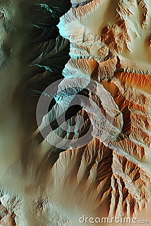
Satellite Scan Of A Desert Landscape Rendered In 3D Using GIS And LiDAR Data With Color-coded Dunes And Topographical Elevation. Stock Photo
Download
Designed by
Gatchenkoandriy
Title
Satellite scan of a desert landscape rendered in 3D using GIS and LiDAR data with color-coded dunes and topographical elevation. #351050040
Description
Satellite scan of a desert landscape rendered in 3D using GIS and LiDAR data with color-coded dunes and topographical elevation. Generative AI
Satellite scan over the mars 3d rendering
3D satellite scan model of an urban area showcasing elevation land usage and topographical layers with precise geospatial data.
Satellite scan model of an urban river with GIS and LiDAR data visualizing elevation and waterway topography in 3D.
Satellite scan of a desert landscape rendered in 3D using GIS and LiDAR data with color-coded dunes and topographical elevation.
Technical satellite scan of a coastal cliff showcasing erosion patterns elevation levels and topographical features in 3D.
Satellite scan of a desert landscape with LiDAR GIS data visualizing elevation dunes and topographical features.
Satellite scan of a river delta rendered in 3D using LiDAR GIS data showing elevation and waterway patterns.