Find results that contain all of your keywords. Content filter is on.
Search will return best illustrations, stock vectors and clipart.
Choose orientation:
Make it so!
You have chosen to exclude "" from your results.
Choose orientation:
Explore cartoons & images using related keywords:
cad
drawing
design
computer
graphic
dwg
format
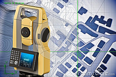
file theodolite total station geodesic device geodetic instruments measurement measure measuring 3d rendering concepts geodesy gps global positioning system optical instrument equipment work tool topographic map topography topographical survey cartographic cartographer cartography relief cadastre cadastral city plan planning land register building activity constructionImaginary Cadastral Map Of Territory With Buildings And Roads Drawn With A CAD (Computer-Aided-Design) Computer Software Royalty-Free Stock Image
Designed by
Title
Imaginary cadastral map of territory with buildings and roads drawn with a CAD (Computer-Aided-Design) computer software #362484706
Description


