Find results that contain all of your keywords. Content filter is on.
Search will return best illustrations, stock vectors and clipart.
Choose orientation:
Make it so!
You have chosen to exclude "" from your results.
Choose orientation:
Explore cartoons & images using related keywords:
alert
areas
blue
boundaries
cartoon
cities
colorcoded
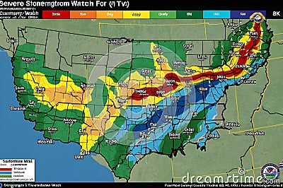
compass conditions corner decreasing denote diagram displaying distorted drawing font games geology green highest highlighting icons identifies indicates indicating interstates issuing labeled legends line logo major map marked meteorological normal orange organization orientation plan play presentation red regions represent rose screenshot severe severityMap Indicates A Severe Weather Alert, Highlighting Various States With Color-coded Zones Stock Photography
Designed by
Title
Map indicates a severe weather alert, highlighting various states with color-coded zones #378512018
Description


