Find results that contain all of your keywords. Content filter is on.
Search will return best illustrations, stock vectors and clipart.
Choose orientation:
Make it so!
You have chosen to exclude "" from your results.
Choose orientation:
Explore cartoons & images using related keywords:
amalie
anguilla
antigua
antilles
aruba
bahamas
barbados
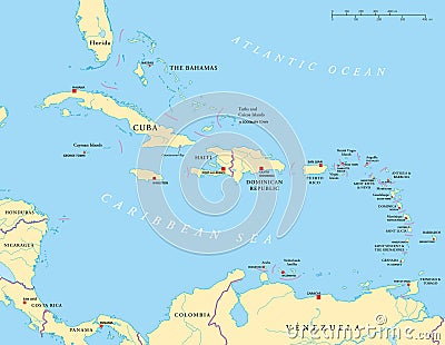
barbuda basseterre bridgetown caicos caribbean castries cayman charlotte cuba domingo dominica dominican fortdefrance grenada grenadines guadeloupe guantanamo haiti havana indian islands jamaica juan kingston kitts large lesser lucia map martinique montserrat nassau nevis oranjestad portauprince portofspain puerto republic rico roseau saint san santoLarge And Lesser Antilles Political Map Vector Illustration
Designed by
Title
Large And Lesser Antilles Political Map #39076600
Description


