Search
(+)
cartoon
dealer
buy stock illustrations
Home
My rookie portfolio
📷 Upload yours 🤳
Find results that contain
all
of your keywords. Content filter is
on
. Search will return
best illustrations, stock vectors and clipart
.
Exclude
Make it so!
You have chosen to exclude "
" from your results.
Choose orientation:
Explore cartoons & images using related keywords:
abstract
africa
all
america
art
asia
atlas
australia
background
borders
business
cartography
city
clearly
continent
country
design
detail
earth
education
elements
europe
geographica
geography
global
globe
human
illustration
locations
map
nation
national
north
planet
political
settlement
silhouette
south
topography
travel
usa
vector
wallpaper
white
world
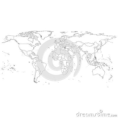
Gray Political World Map Vector
Download
Designed by
Raevsky1
Title
Gray Political World Map Vector #40207046
Description
Gray Political World Map Vector, light design vector illustration
World map in grey color on white background. High detail blank political map. Vector illustration with labeled compound
Iran with provinces, gray political map with borders, and major cities
Kansai region, or the Kinki region in Japan, gray political map
Costa del Sol, Spanish Riviera in Andalusia, gray political map
Idaho, U.S. state, subdivided into 44 counties, gray political map
Utah, U.S. state subdivided into 29 counties, gray political map
Hawaii, U.S. state, subdivided into 5 counties, gray political map
Alaska, U.S. state, boroughs and census areas, gray political map
Free Republic of Liberland, gray political map with Liberland Village
Brandenburg, a state in northeastern Germany, gray political map
Bioko, island and part of Equatorial Guinea, gray political map
North Carolina, subdivided into 100 counties, gray political map
Kamchatka Peninsula, and Kamchatka Krai, Russia, gray political map
Basque Lands, Basque Country and historic Basque area, gray political map
Penang, a state of Malaysia in Southeast Asia, gray political map
United States, Census regions and divisions, gray political map