Find results that contain all of your keywords. Content filter is on.
Search will return best illustrations, stock vectors and clipart.
Choose orientation:
Make it so!
You have chosen to exclude "" from your results.
Choose orientation:
Explore cartoons & images using related keywords:
andaman
andhra
arabian
arunachal
asia
assam
background
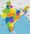
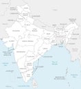
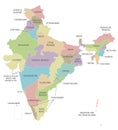
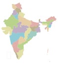
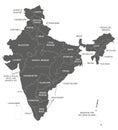
bangladesh bay bengal bhutan bihar boundary capital cartographer cartography chhattisgarh china country daman delhi diu dweep east eastern goa gujarat haryana himachal illustration india indian jammu jharkhand karnataka kashmir kerala labeled lakshya madhya maharashtra map maps megahalaya mizoram nagaland nation nepal nicobar northMap India [Labeled] Authentic Royalty-Free Stock Photography
Designed by
Title
Map India [Labeled] Authentic #4933985
Description

![Stock Photo about Map India [Labeled] Authentic Map India [Labeled] Authentic Stock Photo](https://thumbs.dreamstime.com/x/map-india-labeled-authentic-4933985.jpg)
![Authentic Map India [Labeled] updated 2019 Authentic Map India [Labeled] updated 2019](https://thumbs.dreamstime.com/m/authentic-map-india-labeled-updated-indian-not-to-scale-depicting-states-union-territories-different-colours-black-165056423.jpg)

