Find results that contain all of your keywords. Content filter is on.
Search will return best illustrations, stock vectors and clipart.
Choose orientation:
Make it so!
You have chosen to exclude "" from your results.
Choose orientation:
Explore cartoons & images using related keywords:
abstract
amalie
american
americas
antilles
archipelago
atlantic
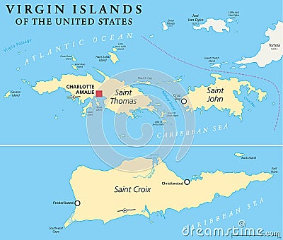
atlas bay british capital caribbean cartography charlotte christiansted climate coastline country croix cruise cruz destination frederiksted geography greater illustration island islands john jost leeward lesser map ocean overseas passage political saint sea states territory thomas tortola travel tropical united usa van virgin waterUnited States Virgin Islands Political Map Cartoon Vector
Designed by
Title
United States Virgin Islands Political Map #52685497
Description


