Search
(+)
cartoon
dealer
buy stock illustrations
Home
My rookie portfolio
📷 Upload yours 🤳
Find results that contain
all
of your keywords. Content filter is
on
. Search will return
best illustrations, stock vectors and clipart
.
Exclude
Make it so!
You have chosen to exclude "
" from your results.
Choose orientation:
Explore cartoons & images using related keywords:
britain
east
england
english
flag
great
humber
kingdom
london
map
midlands
north
regions
south
united
west
yorkshire
Map Of England With Regions Vector Illustration
Download
Designed by
Sateda
Title
Map of England with regions #56518276
Description
Vector map of England with regions and flags
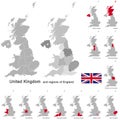
United Kingdom and regions of England
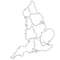
Outline map of the nine regions of England
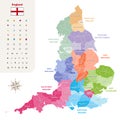
England ceremonial counties vector map colored by regions
Vector map of United Kingdom administrative divisions colored by countries and regions. Districts and counties map of England, Wal
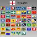
all flags of the England regions
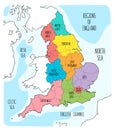
Hand drawn map of England with regions.
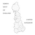
Administrative Map of the north west regions of England, United Kingdom with civil parishes, districts and lieutenancy areas
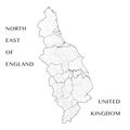
Vector Map of the north east regions of England, UK with civil parishes, districts, lieutenancy areas and regions
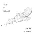
Vector Map of the south of England, UK with the civil parishes, districts, lieutenancy areas, regions
Blank map of England. High quality map with regions of England on transparent background for your web site design, app, UI. Unite
Outline England Map with regions, administrative map of England. UK, Britain, United Kingdom
3d rendering north west england administrative map isolated on Gray background. regions of United Kingdom
3d rendering north west england administrative map isolated on white background. regions of United Kingdom