Find results that contain all of your keywords. Content filter is on.
Search will return stock photos and royalty free images.
Choose orientation:
Make it so!
You have chosen to exclude "" from your results.
Choose orientation:
Explore cartoons & images using related keywords:
area
bend
bessie
burn
butte
china
deschutes
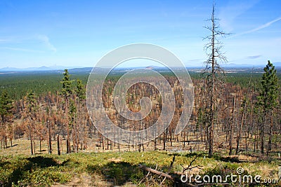
destruction devastation fire forest hat hiking national oregon recovering recovery reforestation road scorched trailDevastation And Recovery Royalty-Free Stock Photography
Designed by
Title
Devastation and Recovery #6915437
Description


