Search
(+)
cartoon
dealer
buy stock illustrations
Home
Black Friday
Find results that contain
all
of your keywords. Content filter is
on
. Search will return
best illustrations, stock vectors and clipart
.
Exclude
Make it so!
You have chosen to exclude "
" from your results.
Choose orientation:
Explore cartoons & images using related keywords:
administrative
cartography
country
east
europe
flag
geography
greece
illustration
map
names
north
outline
political
province
region
south
state
travel
vector
west
world
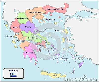
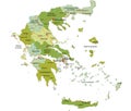
Political Map Of Greece With Names Vector Illustration
Download
Designed by
Pablofdezr
Title
Political Map of Greece with Names #73581334
Description
Illustration of a Political Map of Greece with Names
Earth Europe crisis political Greece Italy focused magnifying glass
Political map of Greece isolated on white background
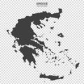
Political map of Greece isolated on transparent background
Political map of Greece isolated on white background
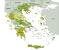
Highly detailed editable political map with separated layers. Greece.
Blue colored political maps of Greece isolated on white background
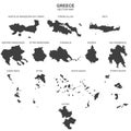
Set of political maps of Greece with regions and flag map isolated on white background
Political map of Greece isolated on white background
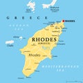
Rhodes, political map, largest of the Dodecanese island of Greece
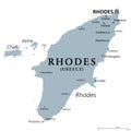
Rhodes, gray political map, largest of Dodecanese island of Greece