Search
(+)
cartoon
dealer
buy stock illustrations
Home
My rookie portfolio
📷 Upload yours 🤳
Find results that contain
all
of your keywords. Content filter is
on
. Search will return
stock photos and royalty free images
.
Exclude
Make it so!
You have chosen to exclude "
" from your results.
Choose orientation:
Explore cartoons & images using related keywords:
abstract
aerial
black
canada
city
cut
ground
houses
housing
lines
map
mountains
office
offices
ontario
polygons
promote
rendering
rivers
roads
satellite
section
split
street
terrain
topography
toronto
tourism
town
vacation
view
views
visit
white
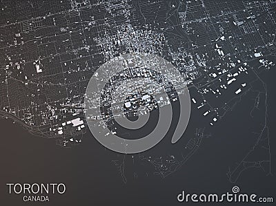
Map Of Toronto, Satellite View, City, Ontario, Canada. Stock Image
Download
Designed by
Vampy1
Title
Map of Toronto, satellite view, city, Ontario, Canada. #76333579
Description
Map of Toronto, satellite view, city, Ontario, Canada. 3d rendering
Toronto, Canada city map 3D Rendering. Aerial satellite view