Find results that contain all of your keywords. Content filter is on.
Search will return best illustrations, stock vectors and clipart.
Choose orientation:
Make it so!
You have chosen to exclude "" from your results.
Choose orientation:
Explore cartoons & images using related keywords:
adjoined
ancient
areas
australia
cap
capped
caves
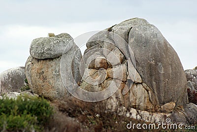
cliffs coastal columns combination continental cradle distinctive evidence frenchmans freycinet geology glaciated glaciation hobart impression island jurassic known landscape large largest limestone mainland midlands mountain mountains northeast nunatak peak peaks plateau portions quartzites queenstown ranges region ridges rock sandstone scenery sea sedimentary shapesRock Shapes Tasmania Royalty-Free Stock Image
Designed by
Title
Rock Shapes Tasmania #88531702
Description


