Search
(+)
cartoon
dealer
buy stock illustrations
Home
My rookie portfolio
📷 Upload yours 🤳
Find results that contain
all
of your keywords. Content filter is
on
. Search will return
best illustrations, stock vectors and clipart
.
Exclude
Make it so!
You have chosen to exclude "
" from your results.
Choose orientation:
Explore cartoons & images using related keywords:
administrative
background
border
capital
cartography
city
computer
country
division
english
europe
european
geography
globe
illustration
ireland
irish
island
map
outline
province
region
shape
topography
travel
vector
world
Map Of Ireland Cartoon Vector
Download
Designed by
Volina
Title
Map of Ireland #88951369
Description
Ireland, also known as the Republic of Ireland, is a sovereign state in north-western Europe occupying about five-sixths of the island of Ireland.
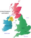
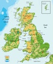
UK and Ireland map
Map of the whole Ireland.
Ireland map.
Postage stamps and labels from Ireland
Ireland map
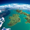
Fragments of the planet Earth. Ireland and UK
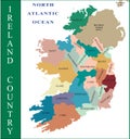
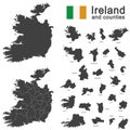
Ireland and counties
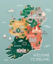
Travel map of Ireland with landmarks and cities
Ireland country design template Flat cartoon style
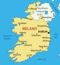
Republic of Ireland - map - vector
United Kingdom of Great Britain and Northern Ireland contour map
United Kingdom and Ireland-physical map
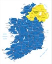
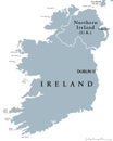
Republic of Ireland and Northern Ireland political map
Ireland emblem with celtic harp
Rock Of Cashel, Ireland
Ireland Harp musical instrument in vintage, retro style, illustration on the theme of St. Patricks day celebration