Search
(+)
cartoon
dealer
buy stock illustrations
Home
My rookie portfolio
📷 Upload yours 🤳
Find results that contain
all
of your keywords. Content filter is
on
. Search will return
best illustrations, stock vectors and clipart
.
Exclude
Make it so!
You have chosen to exclude "
" from your results.
Choose orientation:
Explore cartoons & images using related keywords:
africa
atlas
background
borders
cartography
clip
color
colorful
continent
countries
country
design
earth
education
flags
flat
geography
graphic
icon
illustration
info
infographics
information
land
mockup
modern
physical
planet
political
shape
silhouette
travel
vector
white
world
Political Africa Map Vector Illustration With The Flags Of All Countries.
Download
Designed by
Antoniosantosg
Title
Political Africa Map vector illustration with the flags of all countries. #92535861
Description
Political Africa Map vector illustration with the flags of all countries. Editable and clearly labeled layers.
Political Africa Map vector illustration
Political Africa Map vector illustration isolated on white background.
Political Africa Map vector illustration. Editable and clearly
Mediterranean Basin Political Map
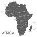
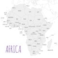
Political Africa Map vector illustration isolated on white background with country names in spanish
Political Africa Map vector illustration with country names in spanish
Political Africa Map vector illustration isolated on white background with country names in spanish
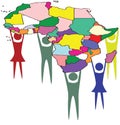
Political Africa supported by colorful people continent
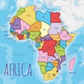
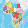
Political Africa Map vector illustration with different colors for each country
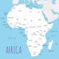
Political Africa Map vector illustration with countries in white color
Political Africa Map vector illustration isolated in white background
Blank Political Africa Map vector illustration with countries in white color.
Blank Political Africa Map vector illustration with different colors for each country.
Blank Political Africa Map vector illustration isolated in white background.