Search
(+)
cartoon
dealer
buy stock illustrations
Home
My rookie portfolio
📷 Upload yours 🤳
Find results that contain
all
of your keywords. Content filter is
on
. Search will return
best illustrations, stock vectors and clipart
.
Exclude
Make it so!
You have chosen to exclude "
" from your results.
Choose orientation:
Explore cartoons & images using related keywords:
africa
aqaba
arabia
atlas
cartography
east
egypt
english
geography
gulf
illustration
island
labeling
map
middle
muhammad
nabq
narrow
passage
peninsula
political
ras
red
sanafir
saudi
sea
sharm
sheikh
sinai
strait
tiran
transportation
travel
vector
Strait Of Tiran Political Map Vector Illustration
Download
Designed by
Peterhermesfurian
Title
Strait of Tiran political map #94791738
Description
Strait of Tiran political map. Narrow sea passage between Sinai and Arabian peninsulas, seperates the Gulf of Aqaba from the Red Sea. Tiran and Sanafir Island. Illustration. English labeling. Vector.
Tiran and Sanafir islands deal between Egypt and Saudi Arabia. Transfer of two islands to KSA. Editable Clip Art.
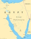
Egypt, Sinai Peninsula political map
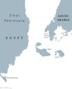
Straits of Tiran political map
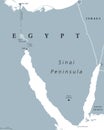
Sinai Peninsula, Egypt, political map
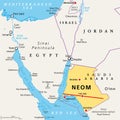
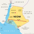
NEOM, megacity project in Saudi Arabia, political map
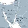
Neom, megacity project in Saudi Arabia, gray political map
NEOM and the Sinai Peninsula, planned smart city in Saudi Arabia, political map
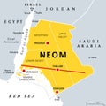
Regions and places of NEOM, planned smart city in Saudi Arabia, political map
NEOM and Sinai Peninsula, a smart city project, gray political map
Regions and places of NEOM, planned smart city in Saudi Arabia, political map
Map of the Saudi Arabian settlement project Neom