Search
(+)
cartoon
dealer
buy stock illustrations
Home
My rookie portfolio
📷 Upload yours 🤳
Find results that contain
all
of your keywords. Content filter is
on
. Search will return
best illustrations, stock vectors and clipart
.
Exclude
Make it so!
You have chosen to exclude "
" from your results.
Choose orientation:
Related commercial searches:
map
ukraine
illegally
annexed
territory
start
counteroffensive
advertising
sticker
quartered
as
example
vintage
engraving
fess
point
seen
russian
border
kursk
ukrainian
incursion
march
2025
zoom
to
territories
captured
russia
Page
of 3
←
→
Order by:
relevancy of keywords
|
publishing date
|
most downloaded
Annexed
Cartoons, Illustrations & Vector Stock Images
- 67 images
Map of Ukraine and the illegally annexed territory before the start of the counteroffensive
Annexed advertising sticker
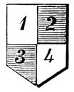
Quartered as in the annexed example, vintage engraving
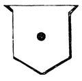
Fess Point as seen in the annexed example, vintage engraving
Map of Ukraine with illegally russian annexed territory border and Kursk Ukrainian incursion, March 2025
Zoom in to the map of Ukrainian territories captured and annexed by Russia
The map of Ukrainian territories captured and annexed by Russia
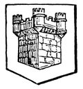
Turreted are annexed example the square tower has circular turrets at the angles, vintage engraving
Glossy glass Flag of Ryà «kyu Kingdom independent 1429 1609; vassal of Satsuma 1609; annexed to Japan 1879
Map of Ukraine with illegally russian annexed territory border and Kursk Ukrainian incursion
Auschwitz
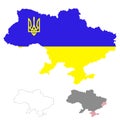
Map of Ukraine. Flag incorporated into the map Ukraine with coat of arms. Outline map of Ukraine. Map of Ukraine with
Glossy glass flag of Albania from 1920 to 1926
Glossy glass flag of Albania from 1928 to 1934.
Glossy glass Flag of Republic of Ezo independent 1869
Glossy glass Flag of the region Lorraine in France.
Glossy glass Flag of South African Republic independent 1856 77, 1881 1902
Annexation of Donetsk and Luhansk to Russia
Crimea, peninsula in Eastern Europe, gray political map
Eastern Ukraine, Crimea and Donbass, political map
Crimea, peninsula in Eastern Europe, political map
Eastern Ukraine, Crimea and Donbass, gray political map
Kuril Islands, from Hokkaido to Kamchatka Peninsula, political map
Map middle east region with Israel border
Kuril Islands, from Hokkaido to Kamchatka Peninsula, gray political map
taken stamp on white
Ukraine, administrative map with occupied territories by Russia, as of January 2024. Vector
Next Page
←
↑
↓
→
See more images