Search
(+)
cartoon
dealer
buy stock illustrations
Home
My rookie portfolio
📷 Upload yours 🤳
Find results that contain
all
of your keywords. Content filter is
on
. Search will return
best illustrations, stock vectors and clipart
.
Exclude
Make it so!
You have chosen to exclude "
" from your results.
Choose orientation:
Related commercial searches:
northern
europe
subdivision
geoscheme
political
map
western
asia
subregion
statistical
subregions
world
americas
subdivisions
statistics
purposes
oceania
regions
pacific
africa
single
countries
Order by:
relevancy of keywords
|
publishing date
|
most downloaded
Geoscheme
Cartoons, Illustrations & Vector Stock Images
- 22 images
Northern Europe, subdivision and geoscheme, political map
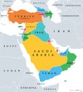
Western Asia, subregion of Asia, geoscheme and political map
Statistical subregions of the world, geoscheme and political map
The Americas, geoscheme and political map, subdivisions for statistics
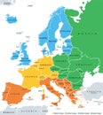
Europe subregions, geoscheme for statistical purposes, political map
Subregions of Oceania, geoscheme with regions in the Pacific, political map
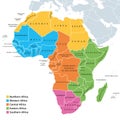
Africa regions map with single countries
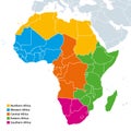
Regions of Africa political map
Africa regions political map
Northern Africa, subregion, political map with single countries
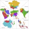
Asia map
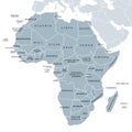
Africa, single countries, gray political map
Asia, continent, main regions, political map with subregions
Central Asia, the Middle Asia countries, colored political map
The Caribbean, subregion of the Americas, colored political map
Australasia, Australia and New Zealand, subregion of Oceania, political map
Central Asia, Subregion of Asia, political map with capitals
Central Asia, a subregion of Asia, gray political map
Sub-Saharan Africa, Subsahara or Non-Mediterranean Africa, political map
Africa political map. Largest continent, including Madagascar. With country names and international borders
Vector illustration vector of Central Asia map Asia
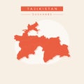
Vector illustration vector of Tajikistan map Asia