Search
(+)
cartoon
dealer
buy stock illustrations
Home
My rookie portfolio
📷 Upload yours 🤳
Find results that contain
all
of your keywords. Content filter is
on
. Search will return
best illustrations, stock vectors and clipart
.
Exclude
Make it so!
You have chosen to exclude "
" from your results.
Choose orientation:
Related commercial searches:
map
four
canada
atlantic
provinces
vector
illustrated
blank
peru
departments
administrative
divisions
neighbouring
countries
poland
colored
polish
names
gives
parentheses
netherlands
qatar
concept
political
regions
logo
Page
of 741
←
→
Order by:
relevancy of keywords
|
publishing date
|
most downloaded
Provinces
Cartoons, Illustrations & Vector Stock Images
- 25123 images
Map of the four canada atlantic provinces
Vector illustrated blank map of Peru with departments, provinces and administrative divisions, and neighbouring countries.
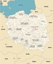
Vector map of Poland administrative divisions colored by provinces with neighbouring countries. Polish names gives in parentheses,
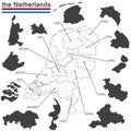
the Netherlands and provinces
Qatar Provinces map. Concept for Political Regions. Vector logo
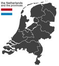
the Netherlands and provinces
Vector blank map of Peru with departments, provinces and administrative divisions.
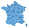
Vector Map of France with Provinces and Major Cities
Large Vintage Detailed Vector Map of Indonesia with 34 Provinces
Vector map of China with provinces, regions and administrative divisions, and neighbouring countries.
Vector map of the Indonesian provinces of Papua and West Papua
Turkey provinces and districts vector map with neighbouring countries and territories
3D Argentina map with all Provinces in gray. Three dimensional map of Argentina with shadow
Colored administrative and political vector map of the Spanish provinces and regions
Lazio map, division by provinces and municipalities. Closed and perfectly editable polygons. italy
Turkey distrcts colored by provinces vector map with neighbouring countries and territories
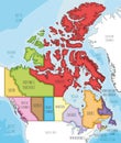
Vector illustrated map of Canada with provinces and territories and administrative divisions, and neighbouring countries
Belgium map Provinces of Belgium color map isolated on white background
Greece provinces and regions vector map with neighbouring countries and territories
Vector map of Greece provinces colored by regions with neighbouring countries and territories
Blank map China. Map of China with the provinces. High quality map of China on transparent background. Stock vector.
Canada, administrative divisions, provinces and territories, colored map
Piedmont map, division by provinces and municipalities. Italy
Vector illustrated blank map of South Africa with provinces and administrative divisions, and neighbouring countries
Italy map division by zones regions provinces and municipalities. Closed and perfectly editable polygons
Lombardy map division by provinces and municipalities. Closed and perfectly editable polygons polygon fill and color paths editabl
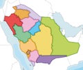
Vector illustrated blank map of Saudi Arabia with provinces and administrative divisions, and neighbouring countries
Next Page
←
↑
↓
→
See more images