Search
(+)
cartoon
dealer
buy stock illustrations
Home
My rookie portfolio
📷 Upload yours 🤳
Find results that contain
all
of your keywords. Content filter is
on
. Search will return
best illustrations, stock vectors and clipart
.
Exclude
Make it so!
You have chosen to exclude "
" from your results.
Choose orientation:
Explore cartoons & images using related keywords:
area
atlas
background
baltic
baltics
blue
borders
capitals
cartography
cities
coastline
colors
countries
country
design
estonia
europe
flat
geography
globe
gulf
icon
illustration
kaliningrad
lakes
latvia
lithuania
map
national
nations
navigation
political
republic
riga
russia
sea
shades
states
tallinn
travel
vector
vilnius
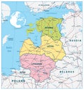
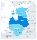
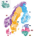
Political Map Of The Baltic States In Three Shades Of Blue And N Vector Illustration
Download
Designed by
Cartarium
Title
Political Map of the Baltic States In Three Shades of Blue And N #111858212
Description
Political Map of the Baltic States In Three Shades of Blue And Navigation Icons. Vector illustration.
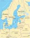
Baltic Sea Area Political Map
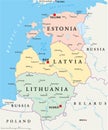
Baltic States Political Map
Baltic countries political map
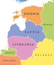
Baltic single states political map
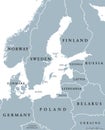
Baltic Sea area countries political map
Administrative and political map of the Baltic republic of Lithuania with flag
Administrative and political map of the Baltic republic of Lithuania
Political Map of the Baltic States with roads
Political Map of the Baltic States. No text
Political Map of the Baltic States
Political Map of the Baltic States In Three Shades of Blue
Political Map of the Baltic States and Flat Map Pointers
Nordic-Baltic Eight NB8 member states political map
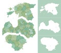
Detailed political map of Baltic countries Latvia, Estonia, Lithuania with administrative divisions into regions and silhouettes