Search
(+)
cartoon
dealer
buy stock illustrations
Home
My rookie portfolio
📷 Upload yours 🤳
Find results that contain
all
of your keywords. Content filter is
on
. Search will return
best illustrations, stock vectors and clipart
.
Exclude
Make it so!
You have chosen to exclude "
" from your results.
Choose orientation:
Explore cartoons & images using related keywords:
africa
antarctica
asia
australia
blue
boundary
brown
china
city
color
continents
countries
country
depth
detailed
earth
education
europe
flags
green
grid
height
land
map
oceania
political
red
relief
river
russia
sea
states
territory
usa
vector
yellow
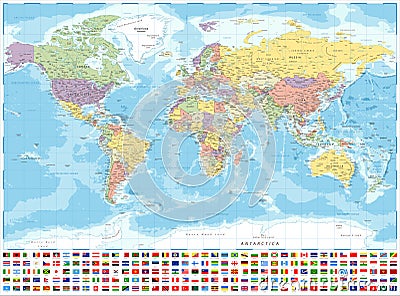
World Map Political And Flags - Vector Detailed Illustration
Download
Designed by
Dikobrazik
Title
World Map Political and Flags - Vector Detailed Illustration #166686368
Description
Political World Map and Flags - Vector Detailed Illustration
Actual world political map
Global political map of the world, vector
Hi Detail colored Vector Political World Map illustration
Political world map, grey, with white borders.
Detailed political World Map: countries, cities, water objects
Detailed political world map with capitals, rivers and lakes
Large detailed vintage color political World Map with lakes and
World map in grey color on white background. High detail blank political map. Vector illustration with labeled compound
Political World Map vector illustration isolated on white background.
Highly detailed political World map with labeling
World Map Detailed Political Map
Vintage Political Physical Topographic World Map Pacific Centered
Political Physical Topographic Colored World Map Pacific Centered
Pacific Centred World Political Map