Search
(+)
cartoon
dealer
buy stock illustrations
Home
My rookie portfolio
📷 Upload yours 🤳
Find results that contain
all
of your keywords. Content filter is
on
. Search will return
best illustrations, stock vectors and clipart
.
Exclude
Make it so!
You have chosen to exclude "
" from your results.
Choose orientation:
Explore cartoons & images using related keywords:
icon
region
atlas
gray
euro
background
country
administrative
state
symbol
line
white
grey
names
abstract
national
europe
borders
boundary
travel
labels
geography
design
district
detail
vector
dutch
land
amsterdam
illustration
world
shape
rotterdam
isolated
cut
map
border
silhouette
province
graphic
provincies
european
nation
contour
netherlands
union
holland
cartography
outline
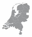
Netherlands Provinces Map Royalty-Free Stock Image
Download
Designed by
Photoimgvect
Title
Netherlands provinces map #198841414
Description
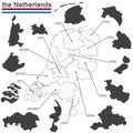
The Netherlands isolated map divided in provinces with labels
Netherlands provinces maps
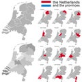
the Netherlands and provinces
Netherlands administrative map
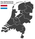
the Netherlands and provinces
Blank map Netherlands. High quality map Kingdom of Netherlands with provinces on transparent background for your web site design,
Netherlands map with different provinces using white lines on dark background vector
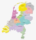
Map of the Netherlands with provinces
Netherlands watercolor map vector illustration of green color with border lines of different regions or provinces on light
Vector isolated simplified illustration icon with grey silhouette of Netherlands` Holland provinces. South Holland
Grey silhouette of Netherlands` Holland provinces. Selected administrative division - Overijssel
Netherlands Provinces Flags Set
Netherlands provinces map
Map of the Netherlands with administrative divisions of the country into regional groups of provinces, detailed vector
Map of Netherlands with the 12 provinces a hexagon tile mosaic in