Find results that contain all of your keywords. Content filter is on.
Search will return best illustrations, stock vectors and clipart.
Choose orientation:
Make it so!
You have chosen to exclude "" from your results.
Choose orientation:
Explore cartoons & images using related keywords:
aerial
arab
arabia
arabian
atmosphere
background
blue
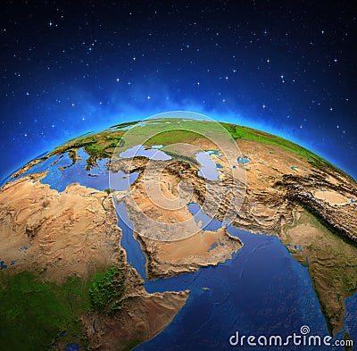
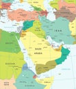
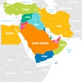
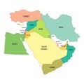
cartography constellation continent earth east egypt galaxy geography global globe ground gulf horizon illuminated illustration iran iraq jordan land landforms lebanon map mediterranean middle persian physical planet red satellite saudi science sea shiny space stars stratosphere sudan topography turkey view world yemenMiddle East And Persian Gulf From Space Stock Illustration
Designed by
Title
Middle East and Persian Gulf from space #200499148
Description

